Tuesday, July 24, 2012

Silver Bay to Temperance River .. I'm through

At this point I'm really quite fine with being 2 paddling days short of completing the circumnavigation of Lake Superior. I think the pain in my right elbow is a result of weeks of using an altered paddle stroke to 'protect' my chronic shoulder problem I re-injured back at Silver Islet about one week into the circumnavigation. For quite a number of years I've had a problem with my right shoulder.. Call it some sort of shoulder impingement syndrome? Rotator cuff tendentious? or whatever. Perhaps the 8 day break at my house in Duluth was too long and then hitting it hard once I was underway caused the elbow problem. Of the roughly 58 miles left....only the final 16 miles from the Brule River to the Hollow Rock have I not paddled. Over the years of living up here I've paddled the miles from Temperance River up to the Brule River. I fell no compelling 'need' to 'finish'. Maybe I'll change my mind but maybe I'll look into shoulder surgery? Perhaps better late than never.....
This section started with Tettegouche State Park where I've guided many a kayak tour. Continuing for miles up the shore from Tettegouche the rugged coast is equally impressive and would have been every bit as deserving of being protected as a National Lakeshore like the Apostle Islands and Pictured Rocks so even though it is private property its worth paddling. I also paddled by the mouth of the Manitou River which I'd not visited for years. The waterfall and sea arch of the Manitou River's mouth make it a cool place.
I saw Sugarloaf Cove for the first time. It was my second stop of the day and where I had lunch. It was also slow and painful paddling the final 8 miles from there to the Temperance River. I wonder if I was even doing 2 mph? I had a 10 to 15 offshore wind but shoreline effect had it easily over 20 knots and the worst was after I paddled past the Taconite Harbor basin and had to struggle straight into a 20 knot plus headwind the 3/4 mile length of the east breakwater back to the protection of shore. That truly trashed my elbow as I had no choice but to hit it hard. I'm not one to hang around waiting to heal so I could 'finish' a couple more days, so it was easy to just decide to call it good..
... And it was a good paddle...despite the injured arm.
Posting this a day late.. Monday, July 23rd was my final day.

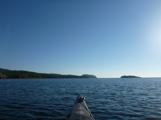
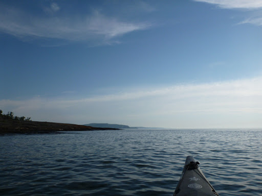
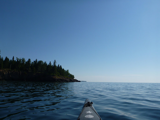
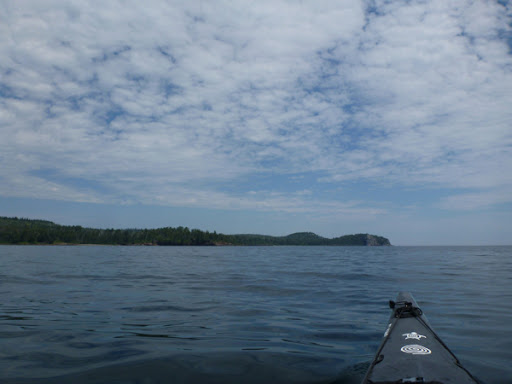
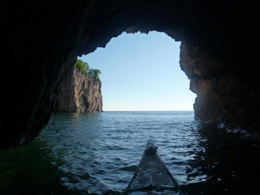
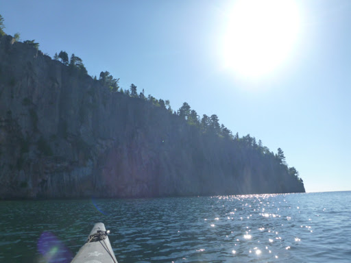
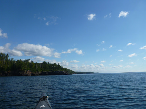
Heading out toward the Palisade Head... Right elbow hurting immediately

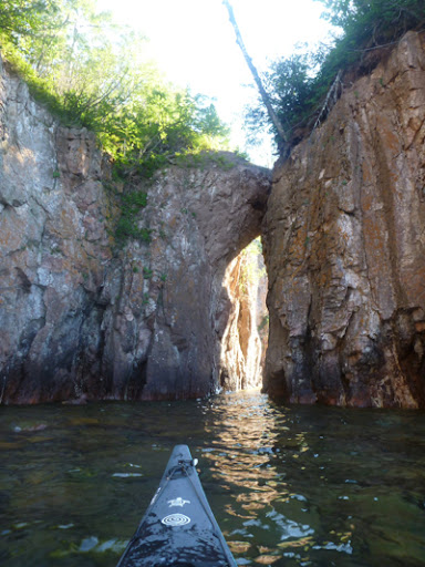
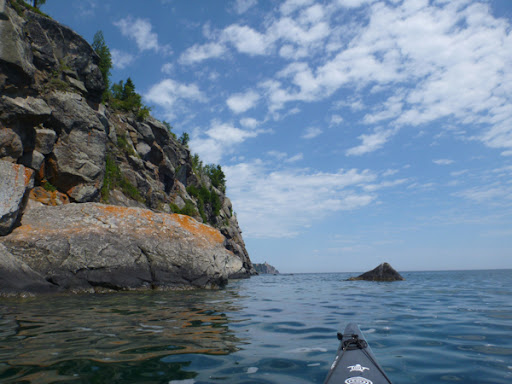
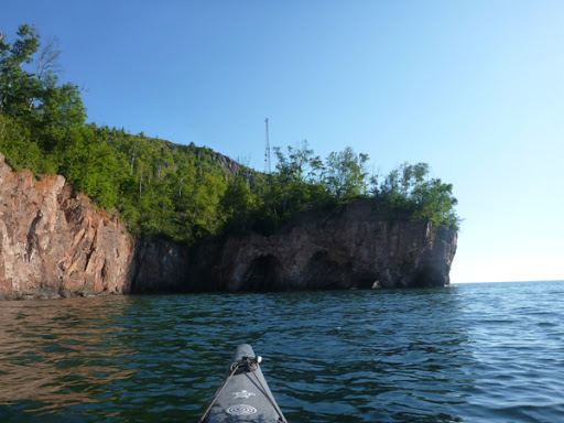
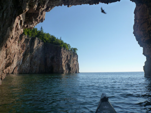
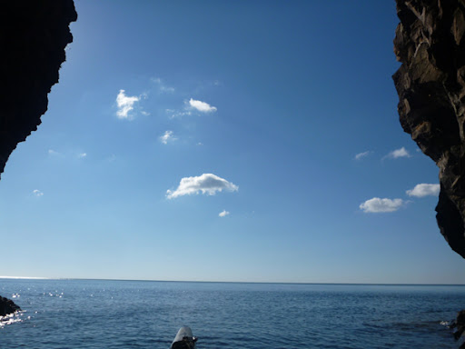
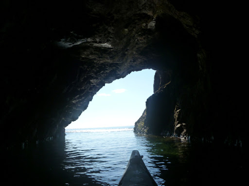
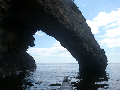
A sea arch at the head ...

...also at the 'Head'
If interested in taking a guided sea kayak tour to Tettegouche State Park contact Northshore Expeditions
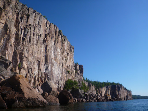
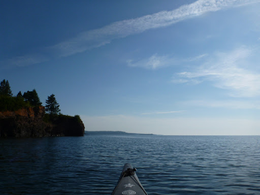
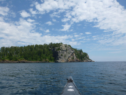
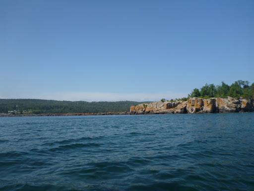
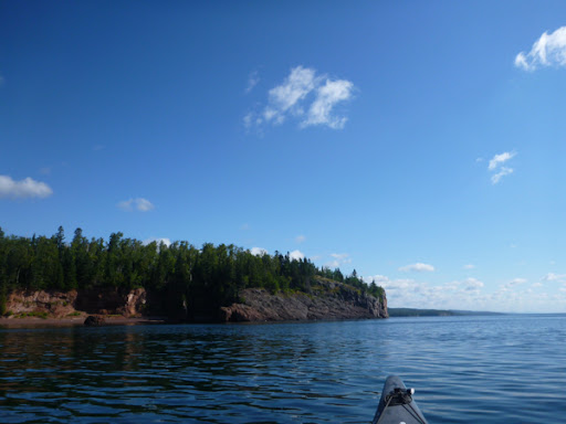
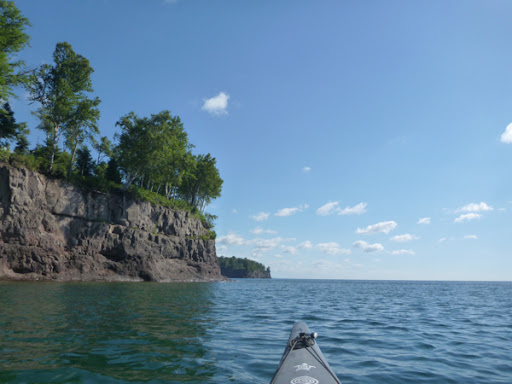
The Palisades...

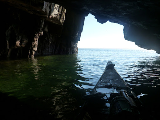
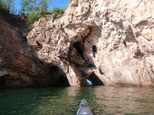
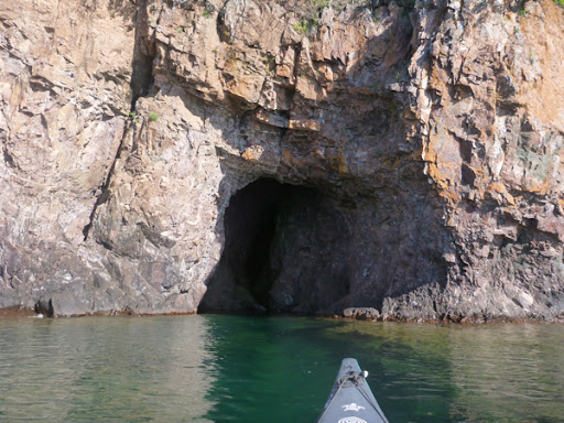
Another Sea Cave at Tettegouche State Park

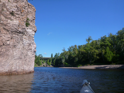
The Baptism River mouth

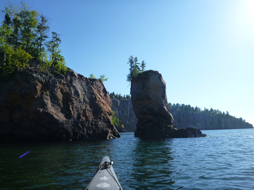
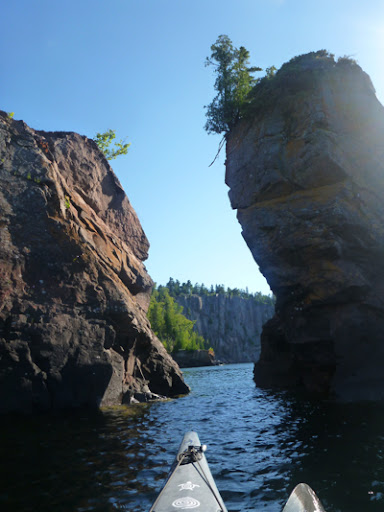
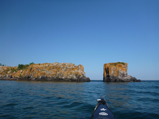
This used to be a sea arch but it's recent collapse created a sea stack...

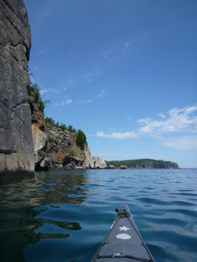
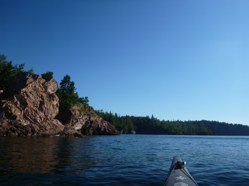
I've never paddled by Shovel Point so early

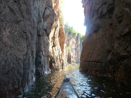
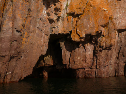
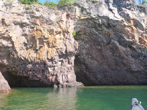
The sea cave/arch at Crystal Cove

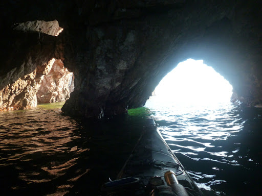
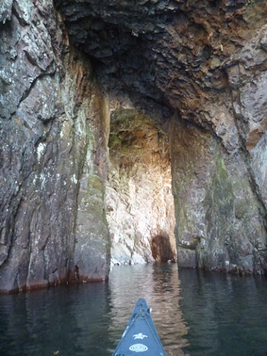
This sea cave near Tettegouche is about 70 feet deep...

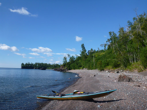
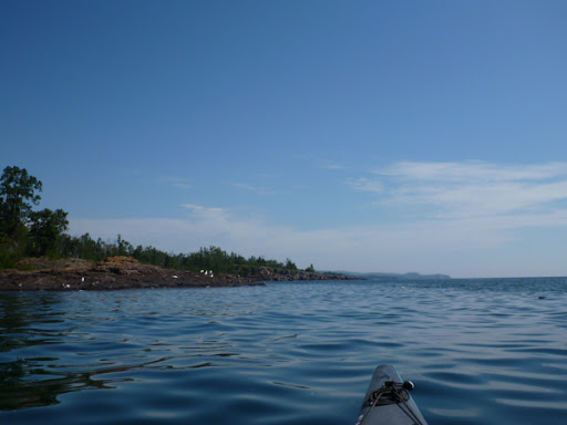
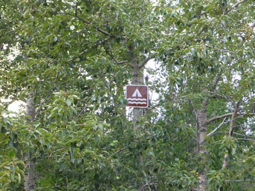
Continuing on... A Water Trail mapped rest stop.. A bit of state land flanked by private property.. I took a pee break.

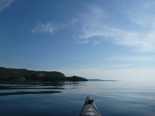
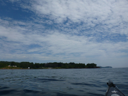
The cool little mini natural harbor at Fenstad's Resort

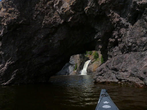
The water falls and sea arch at the mouth of the Manitou River make this a pretty special place. Guided kayak tours are offered to the Manitou River by Northshore Expeditions

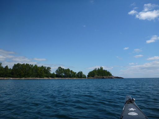
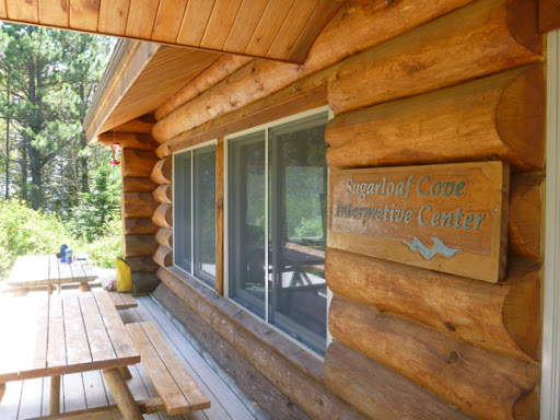
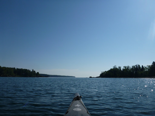
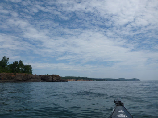
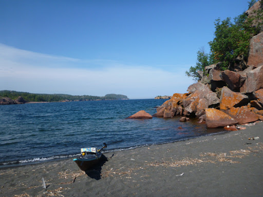
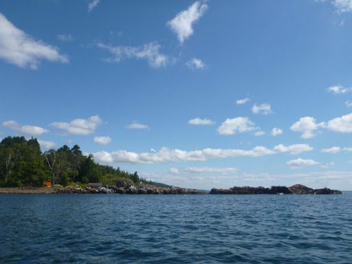
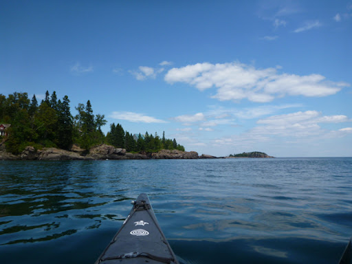
Approaching Sugarloaf Cove .. The Cove .. Lunch at the interpretive center which was closed...Monday.

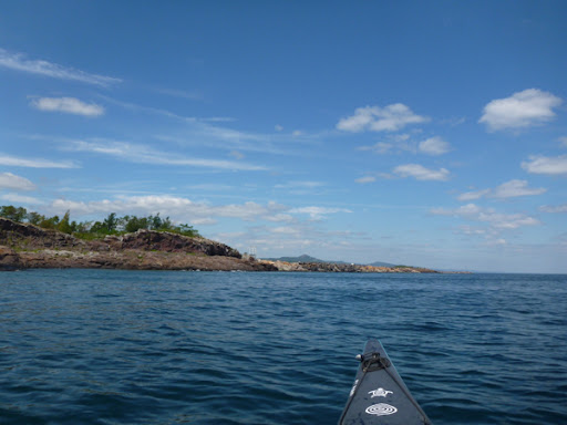
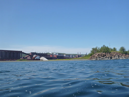
Paddling around the Taconite Harbor basin.. Protected on the outside.. Too windy for photos paddling back to the mainland 3/4 mile

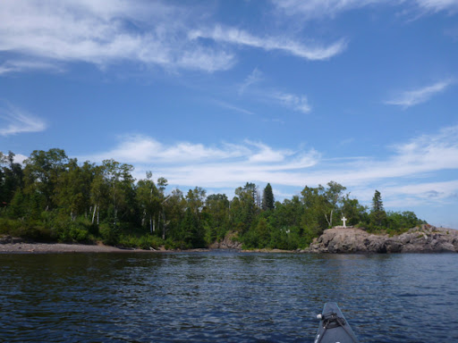
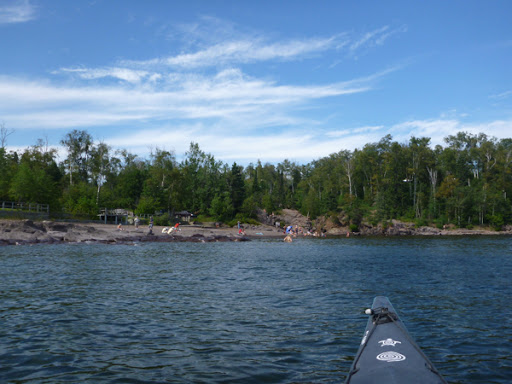
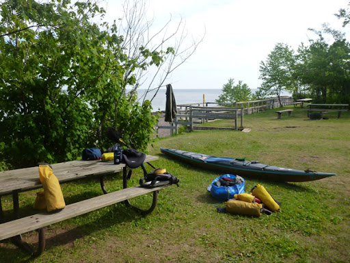
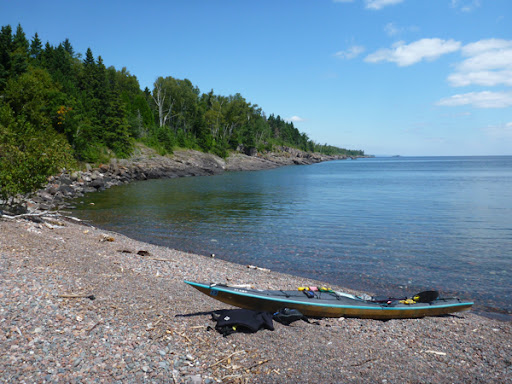
The mouth of The Cross River.. Father Baraga's Cross .. Hoards of hot weather swimmers at the mouth of the Temperance River .. My gear, waiting to be picked up by Bryan Hansel

Hmmmm. Here's where I am?

I've developed a pain in my right elbow? Yesterday as I left the campsite at the Taconite Plant in Silver Bay I could tell I shouldn't be paddling the way my right elbow felt. It was agony from Sugarloaf Cove to Temperance River. I wonder if I was even doing 2 miles an hour? I thought about hanging out until it gets better but knew I didn't want to continue up to Grand Marais and on to Grand Portage with my elbow pain. I may decide to return in a few weeks to finish the final 58 miles.. Maybe I'm allowed to deduct my age from the goal. Actually I am kind of getting into the just shy of the mark aspect. I've kayaked most of those 58 miles...all but the shore between Minnesota's Brule River and Hollow Rock near Grand Portage during the years I lived up here. I'm content with failure : )

Sunday, July 22, 2012

Here I am

At the Water Trail Campsite on the eat end of taconite plant. It's noisy.

Two Harbors to Silver Bay Water Trail Campsite

It was calm all morning though the marine forecast called for south winds 5 to 10 knots. That never happened..the only wind was a north wind light up until the final 5 miles then it was 10 to 15 knots I'd say. The 8 day break didn't accomplish anything. I've got overuse scenarios in both elbow now. It took 8 hours and 20 minutes to do about the same distance as I did yesterday in about 7 hours. I've not had any overuse problems with my elbows before?
As I'm writing this in my tent we have some thunder storms moving through....
I paddled through areas I'd not scene since I was offering kayak trips on the new at the time Lake Superior Water Trail. They became lodging packages after a couple of seasons. I had lunch at the mouth of the Gooseberry River right at the Water Trail campsite there.. Doesn't look like it gets much use.
As I paddled by the Twin Points boat launch there seemed to be a lot going on with a few kayaks and 3 SUP... Stand Up Paddleboards. More from the beach west of the launch. I just paddled on by so it was pretty hard to tell if it was any kind of 'commercial venture'.
Paddling past Slit Rock Lighthouse State Park, I found myself reminiscing about various kayak tours and groups through the years.
I passed the Nadine Backlock Lakeshore Water Trail site and there were 2 wood strip kayaks and tent there. Not a very good beach at all.. Big jagged rocks mainly.
As I continued up toward Beaver Bay, the light north wind began to pick up... Where was that south wind I was looking forward to? As it turned out this last part was kind of a trudge ...again.
Tomorrow begins with the familiar palisades, caves and arches of Tettegouche State Park. It will be the first I've paddled there in a while. Even longer since I've paddled by the mouth of the Manitou River with the arch and waterfall..
I'm planning to camp at Temperance River State Park tomorrow.

Packed and ready

Silver Cliff dominates the view .. The Silver Cliff tunnel .. Heading past the Silver Cliff point, Lafayette Bluff and Encampment Island ahead.

Silver Cliff .. Lafayette Bluff tunnel and Encampment Island.

Heading towards Gooseberry River

Almost to the mouth of Gooseberry, Corundum Point in the distance .. The 'Mouth' .. Water Trail Campsite where I had lunch.

Twin Points Boat Launch .. Where I saw the 3 SUP's

Corundum Point

Slit Rock Lighthouse

At the base of Lighthouse cliff .. Overhang/cave below lighthouse .. Gold Rock Point, where the shipwreck Medira lies

Nadine Blacklock Lakeshore water trail campsite

Beaver Bay Point .. Rock at end of Silver Bay breakwater...

Paddling by the taconite plant .. The Palisades of Tettegouche in the distance

Almost to the Water Trail Campsite .. Beached .. I'll camp here

It's official .. Campsite .. It got cloudy...and it rained a little